


UTM ready data
Unmanned Aircraft Systems Traffic Management
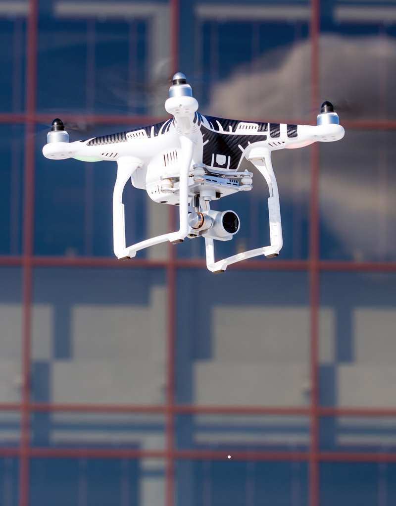
Integrate accurate real-time data for navigation, enabling drones to fly safely in low-altitude airspace. Cirium’s machine-readable, spatially enriched and easily accessible NOTAM, TFR and Airspace data are designed to work with UTM solutions for the safe integration of drones, UAVs (UMVs) into the global airspace.
Data for UTM Systems
Create airspace situational awareness
Shared awareness
Provide users with access to a common situational picture of their operating airspace through spatially enriched NOTAM data.
Simplified navigational data
Access machine-readable NOTAMs in a developer-friendly format.
Single source for NOTAMs
Simplify processes with one source for global NOTAMs.
Trusted and reliable
Cirium is recognized for the most reliable and accurate data in the industry.

Easy to integrate data for UTM
- By enriching NOTAM data with a high-quality aeronautical data-set, unmanned aircraft systems developers can provide a complete global picture of the airspace, its restrictions and any relevant events.
- Cirium provides a full set of enhanced global NOTAMs to provide full NOTAM lifecycle support and geometry.
- Documented APIs and API slicing by user-defined geometry makes integration easy.


